Case studies

Survey solutions applied to real project challenges

Drone survey supporting infrastructure planning
Infrastructure · Nairobi

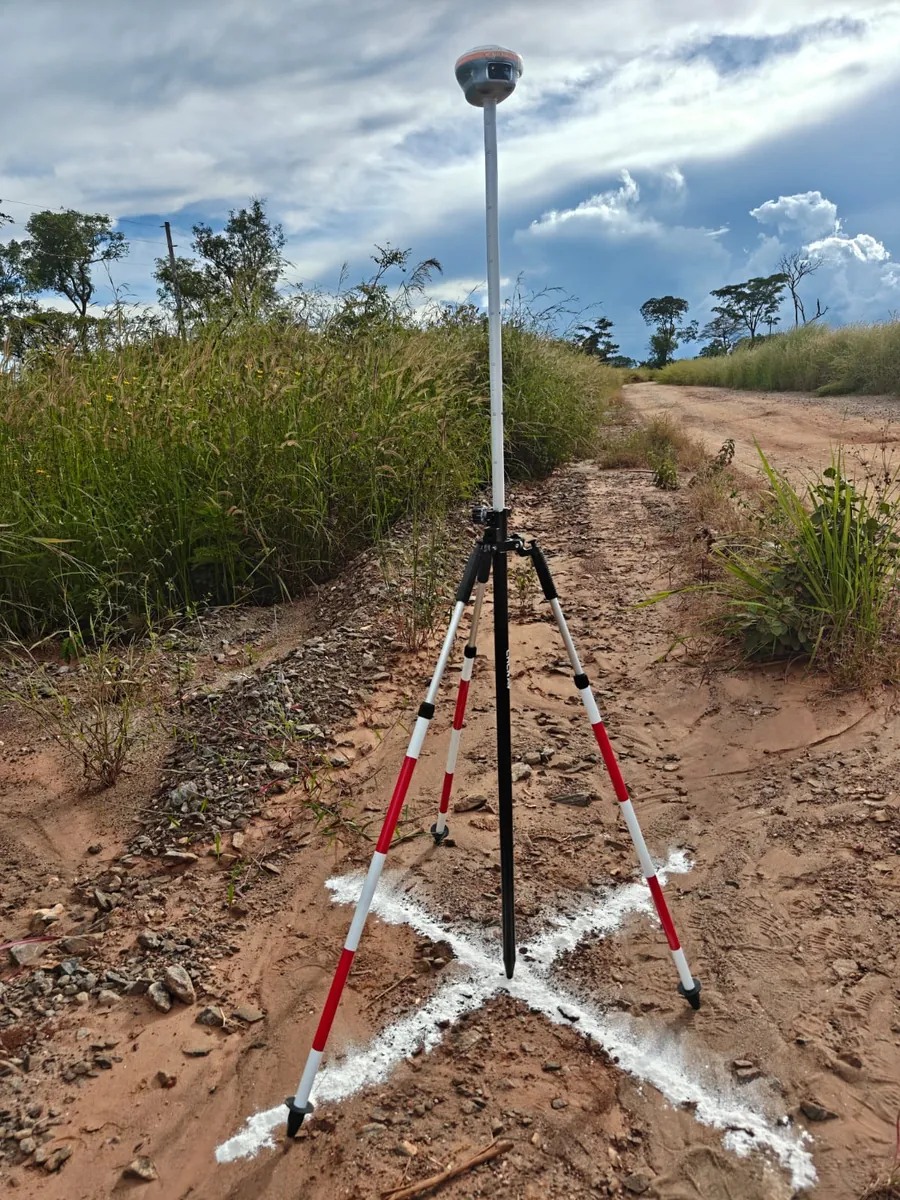
Urban roads survey control and drone preparation

SkyMap field teams verified established control points and set additional survey control to support upcoming aerial surveys for urban road and junction design work.

Methods: GNSS / control survey / drone planningFocus: design-ready positional control
See field updates →
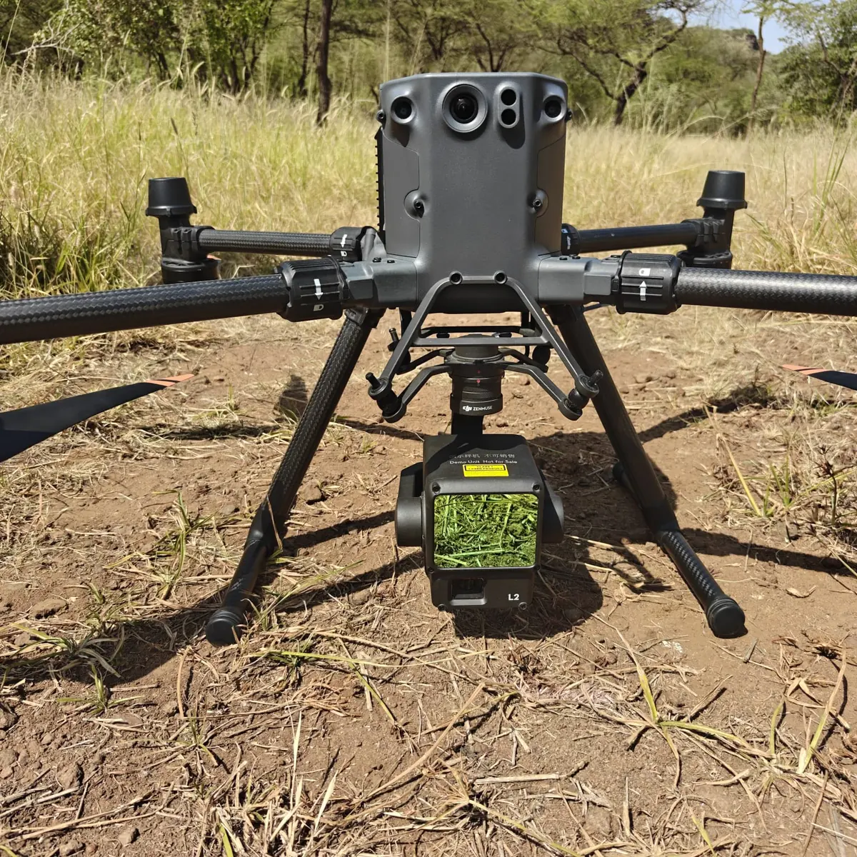
LiDAR survey equipment used for terrain mapping
LiDAR · Mara

High-density LiDAR capture in complex terrain

A recent Mara mission used a newer LiDAR workflow to improve point density, vegetation penetration and field efficiency, producing cleaner terrain information for processing.

Methods: drone LiDAR / GNSSFocus: terrain capture under vegetation
See field updates →
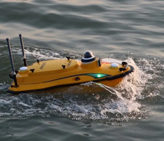
Autonomous bathymetry survey vessel used for hydrographic and water-resource mapping
Water resources · Africa

Integrated LiDAR and bathymetric survey

For projects around dams and water bodies, combining aerial LiDAR topography with sonar bathymetry provides a more complete view of surrounding terrain and submerged surfaces.

Methods: LiDAR / sonar bathymetryOutputs: depth, terrain, contours, volume analysis
Explore hydrographic services →

More project stories

Building a broader case-study library

We are continuing to document completed assignments across infrastructure, agriculture, mining, water resources and environmental mapping. New project stories can be added here as approvals and project material become available.

Discuss a similar project →

Have a site that needs accurate spatial data?

Share your project location, intended use, accuracy requirements and preferred outputs.

Talk to our survey team →
WhatsApp us