
About SkyMap Africa
Professional survey expertise built for Africa’s projects
Who we are
Ground knowledge. Aerial capability. Practical outputs.
SkyMap Africa is a Nairobi-based surveying and geospatial services company specializing in topographical surveys, Drone LiDAR, mapping, engineering support, precision agriculture and spatial analysis.
Our team combines established survey practice with GNSS/RTK, Total Station, drone photogrammetry, LiDAR and multispectral technology. The result is faster site capture and dependable information for planning, design, construction and asset management.
We support projects in Kenya and across East and Central Africa, including Tanzania, Uganda, Rwanda, Burundi, Somalia, Sudan, South Sudan and the Democratic Republic of Congo.
Work with our team →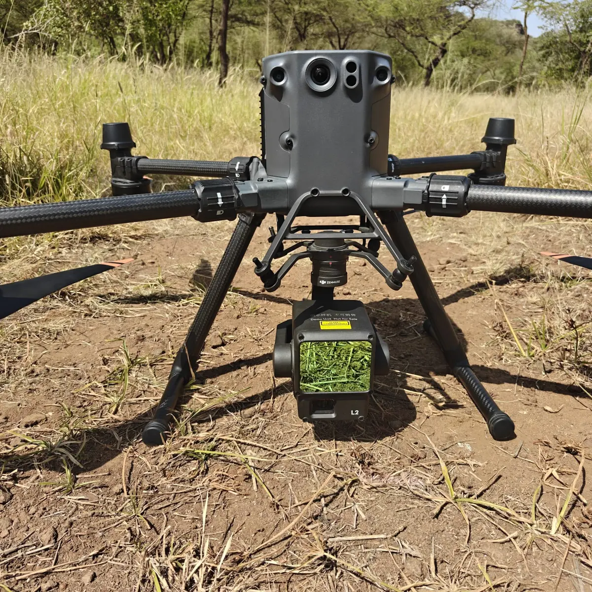
What guides us
Precision that remains useful beyond the field
Control, capture and processing methods selected to meet the intended use of the data.
Thoughtful field and flight planning for people, equipment, sites and surrounding communities.
Deliverables, formats and reports designed to be understood and applied by project teams.
Clear communication and efficient mobilization from initial scope through final delivery.
Modern sensing and processing tools used where they materially improve project outcomes.
Experience working across varied African terrain, sectors, logistics and project conditions.